Côte d’Ivoire: flag, capital and neighbours
Flag
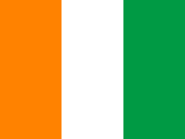
Flag colours
- 34%
- 33%
- 33%
Share of the flag’s area taken by each colour (colours under 3% ignored).
Key facts
- Continent (UN regions)
- Africa
- Capital
- Yamoussoukro
- Area
- 318,000 km² of land (2024)
- Neighbouring countries
- Burkina Faso, Ghana, Guinea, Liberia, Mali
Sourced facts
Côte d’Ivoire qualified for a football World Cup for the first time in 2006. The Didier Drogba generation was the first to qualify for the World Cup, in 2006 (Wikipedia). Source
Sources
- Flag: flag-icons, © 2013 Panayiotis Lipiridis, MIT licence.
- Continent: UN M49 geoscheme, from Natural Earth (public domain).
- Capital: Wikidata (CC0).
- Area: World Bank, indicator AG.LND.TOTL.K2 (CC BY 4.0), from FAO.
- Neighbours: land borders drawn by Natural Earth (public domain), checked against Wikidata.
- Flag colours: computed by Pangée from the flag-icons drawings (method in the game’s sources).
- Wikipédia — Côte d'Ivoire : https://fr.wikipedia.org/wiki/C%C3%B4te_d'Ivoire